Tropical Weather Forecasting
New Interactive Online Feature

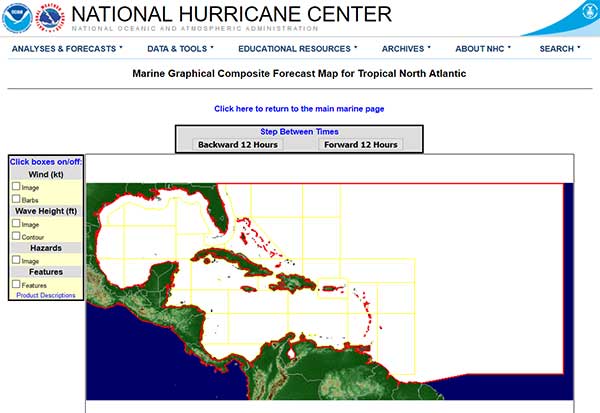
For everyone that sails tropical seas, weather forecasting is vital. The National Hurricane Center has a new internet feature for the 2018 hurricane season and for forecasts anytime of the year. This feature is the Marine Graphical Composite Forecast Map for Tropical North Atlantic.
Marine Graphical Composite Forecast Map


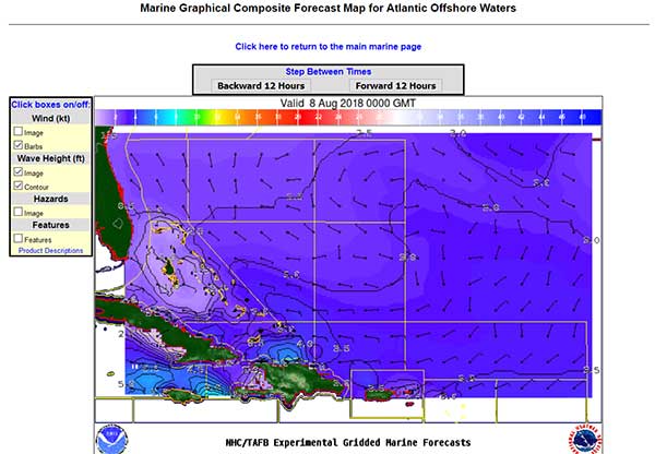
By clicking the map for a section of interest, another map will appear that shows wind, wave heights, hazards and features. Click the upper 12 hour button for three days of forecasts.
Best news of all there is both a high and low bandwidth versions so that everyone can access this useful weather feature.
High Bandwidth: https://www.nhc.noaa.gov/marine/grids.php
Low Bandwidth: https://www.nhc.noaa.gov/marine/forecast/enhanced_atlcfull.php
Marine Graphical Composite Forecast Map Area Detail


W.R. Hodgens Marine Insurance is pleased to bring this weather news from the NHC to you. For the best yacht insurance, W.R. Hodgens Marine Insurance will give you the insurance quote you want. Use the Yacht Insurance Quote Form for fast results or Contact Us for more information.
